Totonicapán, Guatemala
In Development
Overview
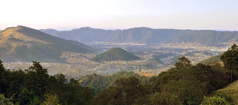
Country: Guatemala · Region: Totonicapán Department, western highlands · Research focus: Community water
A highland department of western Guatemala, largely K’iche’ Maya, at around 2,500 m.
Proposed Field Research Questions
- How is community water collected, managed and paid for?
- How do communal authorities decide on water and forest projects?
- Which water systems need repair or extension, according to residents?
Potential Needs
- Possible community water system needs.
Existing Organisations and Recovery Context
Existing NGOs and grassroots organisations: In Development.
Background from published reports:
- Totonicapán is known for its communal authority of the 48 Cantons, which oversees communal forests and water sources.
Local Research
In Development. A destination research brief would cover sources and unknowns, community contacts and permissions, cultural orientation, safety and access, language, visas, insurance, costs and communication.
Cultural Considerations
- Consult communal and Indigenous authorities before any community engagement.
- Spanish and K’iche’ are spoken; interpreters may be needed.
Anticipated Logistics
- Road access from Guatemala City or Quetzaltenango.
- Highland altitude; nights can be cold.
Estimated Budget
In Development.
Travel Suitability
Highland travel at altitude; suits independent travellers with some Spanish.
Contacts and Permissions
In Development.
Project Earth Support
If this trip goes ahead, Project Earth would provide a destination research brief, a field brief with agreed check-ins, a remote Project Earth contact and coordination through one centrally nominated Travel Agent.
Enquire About This Trip
Register your interest. Your enquiry is stored privately for authorised Staff to review.